Amsterdam-West
Pagine con mappeSenza fonti - centri abitati dei Paesi BassiSenza fonti - gennaio 2015Stadsdeel di Amsterdam

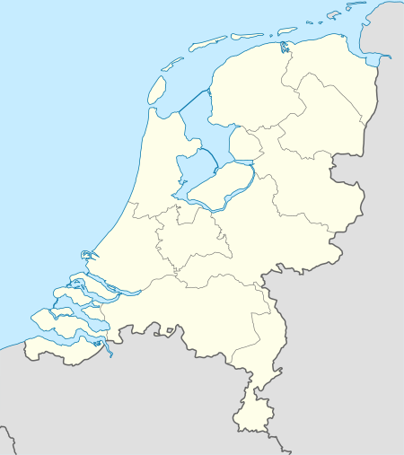
Amsterdam-West è uno stadsdeel di Amsterdam dal 1º gennaio 2005. Amsterdam-West è abitata da 77.510 persone, si estende su 9,89 km² e confina a nord con Amsterdam-Noord e con Amsterdam-Westpoort, a est con Amsterdam-Centrum, a sud con Amsterdam-Zuid e a ovest con Amsterdam Nieuw-West.
Estratto dall'articolo di Wikipedia Amsterdam-West (Licenza: CC BY-SA 3.0, Autori, Immagini).Amsterdam-West
Bellamydwarsstraat, Amsterdam West
Coordinate geografiche (GPS) Indirizzo Luoghi vicini Mostra sulla mappa
Coordinate geografiche (GPS)
| Latitudine | Longitudine |
|---|---|
| N 52.36706 ° | E 4.8645 ° |
Indirizzo
Bellamydwarsstraat 26
1053 BD Amsterdam, West
Noord-Holland, Paesi Bassi
Aprire su Google Maps


